When an emergency call comes in, every second matters. But in many remote First Nations communities, identifying the exact location of a home, road or community asset can be difficult without reliable digital mapping systems.
That challenge is at the heart of an applied research project led by Saskatchewan Polytechnic in partnership with Montreal Lake Cree Nation and the Prince Albert Model Forest. Together, they are developing detailed digital maps that will strengthen emergency response capabilities while creating new opportunities for community planning and land management.
Funded through a three-year, $360,000 College and Community Social Innovation Fund grant from Natural Sciences and Engineering Research Council of Canada (NSERC), the initiative combines advanced drone mapping, satellite imagery and community engagement to create a living digital map that can be updated as the community grows and changes.
“Maps are not static. They are dynamic,” says Dr. Abdul Raouf, research chair at Sask Polytech’s Sustainability-Led Integrated Centres of Excellence (SLICE) and project lead. “As communities grow and new homes, roads and infrastructure are developed, maps need to be updated as well. That’s the advantage of a digital map over a paper one; it can be easily maintained and kept current.”
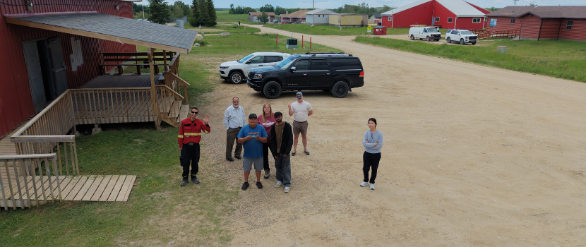
Researchers recently spent two weeks in Montreal Lake Cree Nation collecting high-resolution aerial imagery using drones. The flights captured detailed information about community infrastructure, including power lines, utility poles and fire hydrants. Road names and house numbers are also being verified to improve accuracy on the digital map and to help create better signage in the community.
This level of detail is especially important for emergency response planning. One of the project’s primary goals is to develop digital maps that can be integrated into Next Generation 911 systems, helping first responders navigate the community quickly and accurately. The first phase of the project is expected to be completed by the end of the summer.
“Beyond emergency response, we are laying the groundwork for a broader digital governance system that will give community leaders access to critical information at the click of a button,” says Raouf.
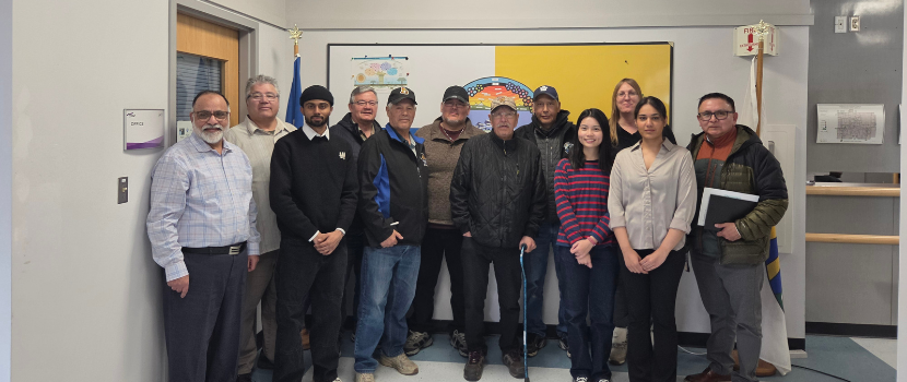
Community engagement remains central to the project. The Prince Albert Model Forest has facilitated meetings with Montreal Lake Cree Nation Elders, community members and regional leaders to ensure local knowledge informs the work. These conversations are helping Sask Polytech researchers identify future mapping priorities while strengthening long-term relationships.
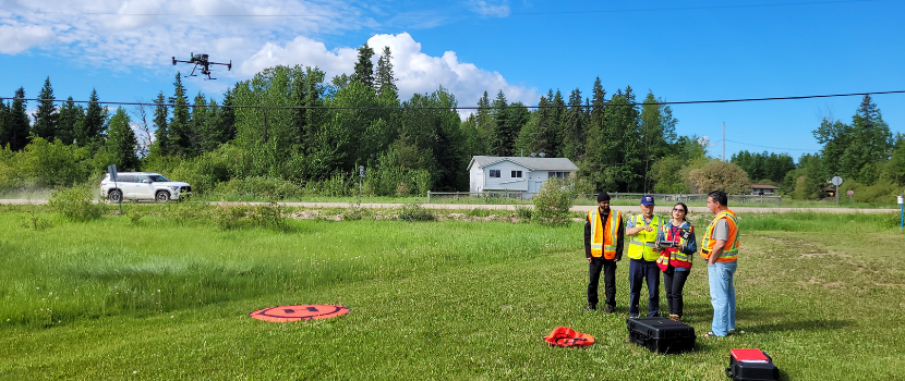
The potential applications of digital maps extend far beyond roads and buildings. The mapping tools developed by the team will also support priorities such as monitoring of forest health and assessment of wildfire impacts. By combining drone imagery with satellite data, communities can gain a clearer understanding of how their landscapes are changing over time.
Training and capacity building are also key components of the digital mapping initiative. Sask Polytech is providing training to community members to maintain and update the digital system long after the project concludes.
For Raouf, the most rewarding aspect of the work is seeing applied research create tangible community benefits.
“The ultimate goal is to empower the Montreal Lake Cree Nation community,” he says. “This project aims to support Montreal Lake Cree Nation’s digital governance and data sovereignty goals through digital mapping and remote sensing skills development.”
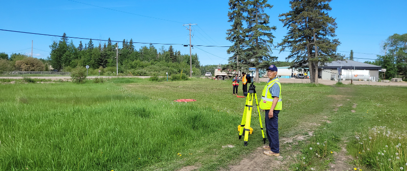
By combining advanced geospatial technologies with community knowledge, the project demonstrates how applied research can deliver practical solutions. For Montreal Lake Cree Nation, a digital map is more than a collection of coordinates; it is a tool for safety, planning and stewardship that will continue to evolve for years to come.
SLICE is based in Sask Polytech’s Faculty of Technology and Skilled Trades. SLICE's vision is to advance sustainability in Saskatchewan and beyond through collaborative applied research for the benefit of our economy, environment, society and future generations.
Learn more at about applied research and SLICE at saskpolytech.ca/slice.
Saskatchewan Polytechnic is signatory to the SDG Accord. Sustainable Development Goal alignment is one of the ways Sask Polytech is leading the rise of polytechnic education.