Geomatics and Surveying Engineering Technology mapping project will help emergency responders reach Cowessess First Nation quicker
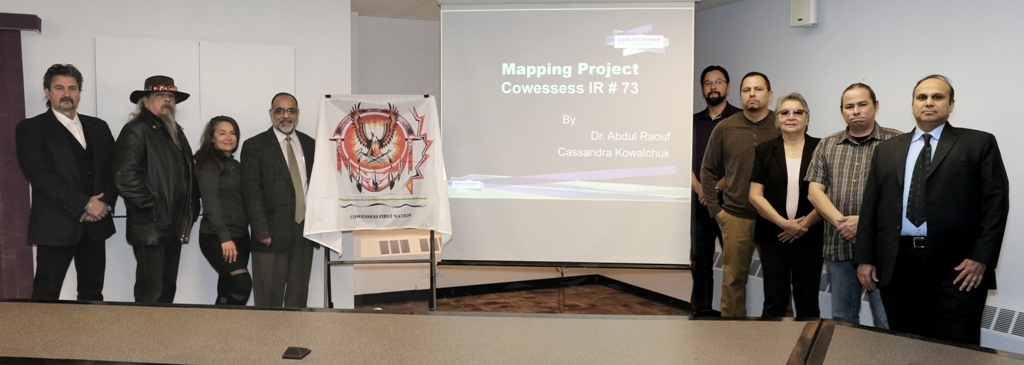
November 26, 2018 – Through a Saskatchewan Polytechnic applied research grant, Cowessess First Nation and Saskatchewan Polytechnic Geomatics and Surveying Engineering Technology faculty members have created a mapping procedure that will help 911 responders locate Cowessess First Nation emergencies quicker.
After a conversation with Cowessess Chief Cadmus Delorme, CJ Pelletier, Geomatics and Surveying Engineering Technology program head, identified a practical solution to help with this unique challenge of mapping roads and properties. Through a Seed Applied Research Project funding grant Pelletier and Sask Polytech grad and instructor, Abdul Raouf, created a procedure to map and update a geo-database of the roads and homes of the Cowessess First Nation community for the Saskatchewan Department of Highways to use for future 911 dispatches.
“Cowessess First Nation is now better prepared for future emergency situations” says Chief Delorme. “There are jurisdictional differences with neighboring RM’s and municipalities but emergency responses are a shared service. Previously seeking an emergency location was done with an outdated physical map, resulting in response time typically taking over an hour. These are life and death situations. With this initiative, people on Cowessess First Nation can be assured emergency responders will use the quickest route possible.”
“This mapping project provides vital geo-spatial information of the roads and homes of Cowessess First Nation in the form of digital maps,” says Dr. Larry Rosia, president and CEO, Sask Polytech. “These maps will be integrated into an existing database to provide emergency responders with critical information to respond to calls more efficiently and effectively on the Cowessess First Nation.”
Applied research projects at Sask Polytech are steered by industry, business and the community. Through a collaborative applied research approach Sask Polytech can help industry and community members solve their everyday challenges. Sask Polytech hopes to use the mapping procedures created with Cowessess First Nation to assist other First Nation communities and rural municipalities. These digital maps can also be used by First Nation communities for future planning, development and management.
Students in Sask Polytech’s Geomatics and Surveying Engineering Technology diploma program learn a variety of surveying techniques from the fundamentals of cadastral surveying to GPS data collection. Students learn how smart phones can provide live maps and how latest geospatial technologies including remote sensing and geographic information system (GIS) can be used to analyze and update these maps. Sask Polytech’s Geomatics and Surveying Engineering Technology program has national recognition from the Canadian Board of Examiners for Professional Surveyors.

About Saskatchewan Polytechnic: Saskatchewan Polytechnic serves 28,000 distinct students through applied learning opportunities at campuses in Moose Jaw, Prince Albert, Regina and Saskatoon, and through extensive distance education opportunities. Programs serve every economic and public service sector. As a polytechnic, the organization provides the depth of learning appropriate to employer and student needs, including certificate, diploma and degree programs, and apprenticeship training. Saskatchewan Polytechnic engages in applied research, drawing on faculty expertise to support innovation by employers, and providing students the opportunity to develop critical thinking skills.

